 IMAGE COPYRIGHT AMELIA ANDREWS
 Exploring Earth: Learn to Map Floods and Glaciers Using Satellites
Age suitable for:
- 14 - 16 years-old
Accessibility alert:
- Hearing loop available
free
What's on offer?
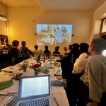
The More than Maps project aims to inspire secondary school children of the power and importance of our changing environment. We welcome you to join us in the state-of-the-art geospatial computer lab to use satellite imagery to study how water moves through our landscapes.
A team of researchers from the School of Geography and Environmental Science will be on hand to support the workshop!
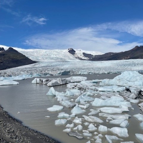
Welcome to the world of remote sensing, where satellites orbiting Earth capture breathtaking images which can be used to understand our planet's changing environments. Explore different remote sensing technologies with Daniela Rivera Marin for an hour and examine the Somerset Levels 2014 floods using satellite data. Later, join Amelia Andrews for another hour as a Glaciologist, as you learn how to identify glaciers from space, measure their unique features, and map their transformation over time to understand their response to a changing climate. This practical will give you the tools to explore floods, and assess how glaciers are evolving, and why all of it matters!
Open to: GCSE Geography Students
PLEASE NOTE: THIS EVENT IS ONLY BOOKABLE THROUGH TEACHERS
Due to demand, this event is now fully booked. If you are a TEACHER of GCSE GEOGRAPHY you can express interest in future events by emailing morethanmaps@soton.ac.uk.
Accessibility: Venue has full wheelchair access and hearing loop is available. There is an adult changing room (with hoist and changing table).
This activity is part of FruitSense project which is supported through the Science and Technology Facilities Council (STFC) UK/Australia Earth Observation AgroClimate Programme (grant reference number ST/Y000129/1)
You may also like

The Composting Heap Sharing Bucket: A Chicken Reading Group
Join the team at the Composting Heap - an expanded interdisciplinary reading group curated by artist-researchers Dr Paul Hurley and Dr Kathryn Ashill. This edition - the Sharing Bu ...Read More
John Hansard Gallery

Stasis Field by Kathy Prendergast
This captivating show blends drawing, sculpture, and installation to explore themes of identity, geography, and the human body. Known for her meditative and evocative works, Pre ...Read More
John Hansard Gallery
 - v2.jpg)
